Welcome to our store!
Proceeds from purchases made here all go to supporting the work that we do, advocating for better communities that put our health and future prosperity at the fore.
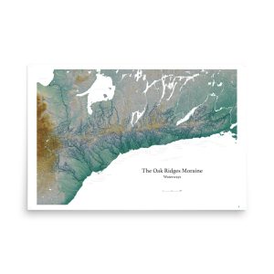
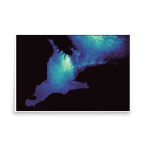
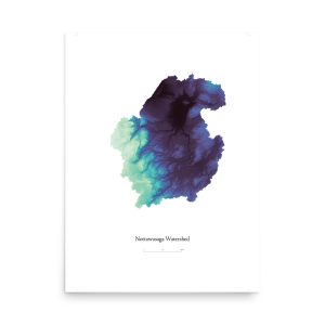
Much of what you will see here stems for that work, such as mapping that highlights natural features of an area. This is something that we often don’t see when you look at a map, where roads and urban areas are made the central focus.


Check back soon for more products!
We will be adding maps of The Greenbelt, the Oak Ridges Moraine, municipalities in Simcoe County, as well as other watersheds and natural features.
If you have a request for a custom map, or an idea for a map idea you think would fit well in our store, get in touch! :)
We use cookies to understand how people use our site and to improve how we share information. You can accept or decline non-essential cookies.
Websites store cookies to enhance functionality and personalise your experience. You can manage your preferences, but blocking some cookies may impact site performance and services.
Essential cookies enable basic functions and are necessary for the proper function of the website.
These cookies are needed for adding comments on this website.
Google reCAPTCHA helps protect websites from spam and abuse by verifying user interactions through challenges.
These cookies are used for managing login functionality on this website.
Stripe is a payment processing platform that enables businesses to accept online payments securely and efficiently.
Service URL: stripe.com (opens in a new window)
Statistics cookies collect information anonymously. This information helps us understand how visitors use our website.
Google Analytics is a powerful tool that tracks and analyzes website traffic for informed marketing decisions.
Service URL: policies.google.com (opens in a new window)
SourceBuster is used by WooCommerce for order attribution based on user source.
Marketing cookies are used to follow visitors to websites. The intention is to show ads that are relevant and engaging to the individual user.
Friends. Online censorship by unaccountable tech companies, combined with an all-out assault on the Greenbelt by Ontario’s developers/government, make this a perilous time for the future of democracy and the power of the people in Ontario.
We need to build new ways of empowering those who believe in accountability, in a healthy environment, and in communities ready to thrive in the economy of tomorrow.
Join our supporter network and stay informed about efforts and actions to protect the Greenbelt, to build communities that support the health and well-being of people, and to lay the foundations of a resilient, climate friendly future.